Oongawa Design
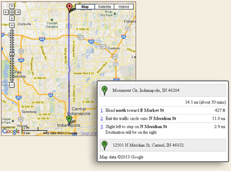
Oongawa Design has extensive experience with geographic information systems (GIS) and integrating Google Maps with websites. Our experience ranges from desktop ESRI products, such as ArcMap and Spatial Analyst to the Google Maps website application programming interface. Many of our websites contain interactive Google Maps with driving directions features (Examples: J. Razzo's and P & P Golf Cars).
Our GIS experience includes: